Mount Rinjani Closed Due To Fires
The Balai Taman Nasional (TNGR) has temporarily closed the Torean and Senaru climbing routes on Mount Rinjani in Lombok due to a forest fire in the Bukit…
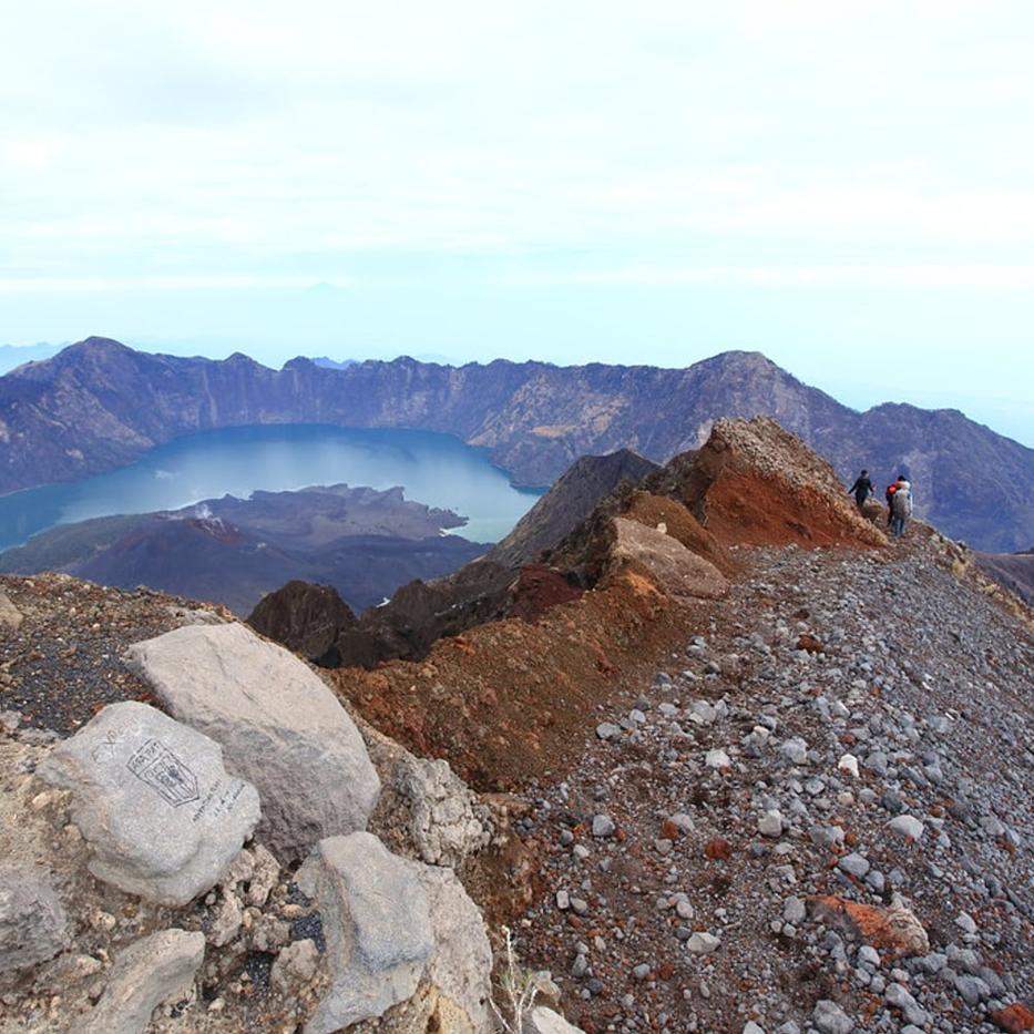
Mount Rinjani Trails Closed Indefinitely
If you are planning to hike Mount Rinjani in Lombok, your plans may need to change. Balai Taman Nasional Gunung Rinjani (TNGR), the agency managing the national park, has announced that the Senaru and Torean climbing routes are temporarily closed. The closure is due to a significant forest fire in the Bukit Setampol area.
According to reports from Tempo English and other local news outlets, the closure applies to both the Senaru and Torean trails. Astekita Ardiarsito, Head of the Administration Sub-division at the TNGR Agency, stated on September 30, 2026, that the trails remain closed “for an indefinite period.” The exact reopening date has not been specified.
- 723.7 hectares
- area affected by forest fire
- 36 Hectares
- area burned by another fire
- 723,7
- hectares affected
- 589,23 hektare
- burned area size
Why the Closure?
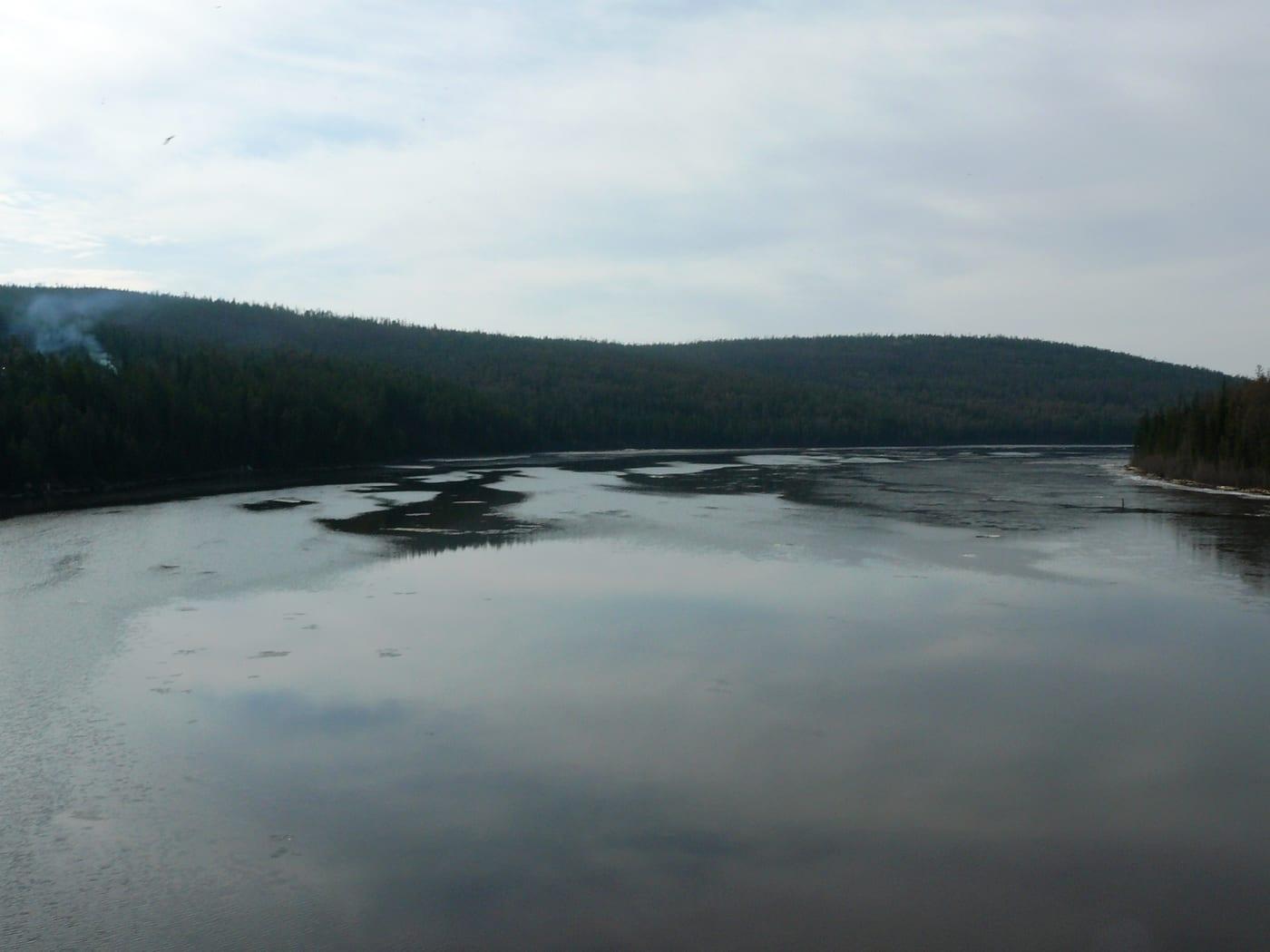
The primary reason for the shutdown is a forest fire that broke out on September 22, 2026. The fire started in the Bukit Setampol area within the Torean Resort of North Lombok. As reported by ANTARA News and CNN Indonesia, the blaze has spread significantly.
Estimates of the affected area vary depending on the date of the report:
- On September 24, the affected area was estimated at 589.23 hectares.
- By September 29, Liputan6 reported that the figure had risen to 1,098.75 hectares.
- Other reports from late September cited figures around 723.7 hectares.
The fire is fueled by dry vegetation, including casuarina trees, shrubs, grasses and leaf litter. High winds and difficult terrain, which can take up to eight hours to reach, have made firefighting efforts challenging. Patrol teams are being deployed to monitor the situation and prevent the fire from spreading further towards the Pelawangan Senaru area.
What This Means for Hikers
This closure directly affects anyone planning to ascend or descend Mount Rinjani via the Senaru or Torean gates.
For those with existing bookings: If you already hold an e-ticket for the Senaru route, TNGR advises you to reschedule your trip. Alternatively, you can change your entry and exit points to use the Sembalun route instead. This applies to both new bookings and people already on the mountain who intended to exit via Senaru or Torean; they are being directed to exit via Sembalun.
For those planning future trips: The Torean route was officially closed starting September 23, 2026. The Senaru route closure followed shortly after. Until further notice from the park authorities, these two access points are unavailable.
Safety First
The decision to close the trails aims to ensure visitor safety and allow emergency teams to work without obstruction. Budy Kurniawan, Head of the TNGR Office in West Nusa Tenggara, emphasized that the closure supports optimal firefighting and monitoring operations.
Park officials are urging all visitors to respect these restrictions. Attempting to use closed trails poses serious risks because of the ongoing fire and unstable ground conditions.
Next Steps
The TNGR agency continues to monitor the fire through drone surveillance and ground patrols. Reopening the Senaru and Torean routes will depend on the successful containment of the fire and subsequent evaluations.
Hikers should keep an eye on official announcements from Balai Taman Nasional Gunung Rinjani for updates on when the trails might reopen. In the meantime, the Sembalun route remains the viable alternative for accessing the mountain.
For the most current information, check the official channels of the National Park Agency or trusted local news sources such as Tempo and ANTARA.
| Figure | What it measures | Source |
|---|---|---|
| 723.7 hectares | area affected by forest fire | Tempo English |
| 36 Hectares | area burned by another fire | Tempo English |
| 723,7 | hectares affected | detikBali |
| 589,23 hektare | burned area size | jabar.antaranews.com |
| 23 September 2026 | closure start date for Torean route | jabar.antaranews.com |
| 22 September 2026 | fire report date | jabar.antaranews.com |
| 22 September 2026 | date of forest fire | jabar.antaranews.com |
| 23 September 2026 | start date of closure | jabar.antaranews.com |
| 127 | hectares of affected area | cnnindonesia.com |
| 1.098,75 hektare | area affected by forest fire | www.liputan6.com |
| 1,098.75 | hectares affected by fire (Sept 29) | www.liputan6.com |
| 723.7 | hectares affected by fire (reported Sept 30) | Tempo English |
| 589.23 | hectares affected by fire (Sept 24 estimate) | jabar.antaranews.com |
| 127 | hectares affected (BPBD initial data) | cnnindonesia.com |
| 23 | September 2026 (Torean closure start) | cnnindonesia.com |
| 22 | September 2026 (Fire reported) | jabar.antaranews.com |
This is general information about Bali and Lombok, not legal or immigration advice. Local rules change often and can differ between regencies. Check with the relevant authority before acting on it.
Sources
This story is written from these reports. Open them to check it.
- Indonesia's Mount Rinjani Hiking Trails Closed as Forest Fire Spreadsen.tempo.co
- Karhutla Meluas, Jalur Pendakian Gunung Rinjani via Senaru Ditutupdetik.com
- Rinjani terbakar, Luas lahan terdampak tembus 589 hektarejabar.antaranews.com
- Jalur pendakian Torean Rinjani ditutup total akibat kebakaranjabar.antaranews.com
- Jalur Pendakian Torean Rinjani Ditutup Sementara Imbas Kebakarancnnindonesia.com
- Penyebab Jalur Torean dan Senaru Rinjani Ditutupliputan6.com